1. Atlas map of Mt Adama Community Service Site of Bahir Dar University 2. Bahir Dar City Tourist Map Development 3. Web-Based Geo-Spatial Archive and Management System (GAMS) Development 4. Water Hyacinth Spatial Coverage Surving and Mapping
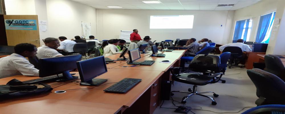
Geospatial Data & Technology Center (GDTC) in collaboration with Vice President for Research & Community Service Office of Bahir Dar University is offering a GIS training for twenty-three Natural Resource Management experts working at Zonal and Woreda (District) level. The training is a tailor-made training designed to enable Natural Resource Management experts to use GIS in their day to day activities. The ever rising human population is depleting natural resources in a range of time making resource management a prior agenda for concerned bodies.