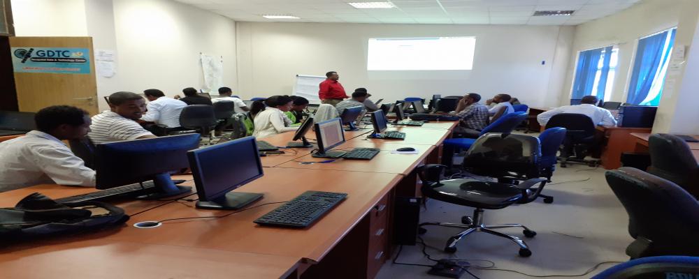
Geospatial Data & Technology Center (GDTC) of Bahir Dar University in collaboration with the Amhara National Regional State Disaster Prevention Food Security Program Coordination Commission EU- Supported offers GIS Training for sixteen early warning experts from east Amhara zones.
Geospatial Data & Technology Center (GDTC) of Bahir Dar University in collaboration with the Amhara National Regional State Environment, Forest & Wildlife Protection & Development Authority offer a GIS Training for Twenty-five Forest experts from the Zone& Woreda Administration of East Amhara. The training was a hands-on training and held for seven days (June 22-28, 2022).
Topics covered:
• Basic concepts in GIS
• Working with ArcGIS environment
• Geodatabase design & managing forest data in geodatabase
Geospatial Data & Technology Center (GDTC) of Bahir Dar University in collaboration with the Amhara National Regional State Environment, Forest & Wildlife Protection & Development Authority offer a GIS Training for Seventeen Forest experts from the Zone & Woreda Administration of west Amhara. The training was a hands-on training and held for seven days (June 11-17, 2022).
Topics covered:
• Basic concepts in GIS
• Working with ArcGIS Environment
• Geodatabase design & managing forest fata in geodatabase